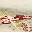
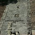
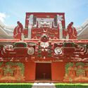
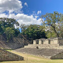
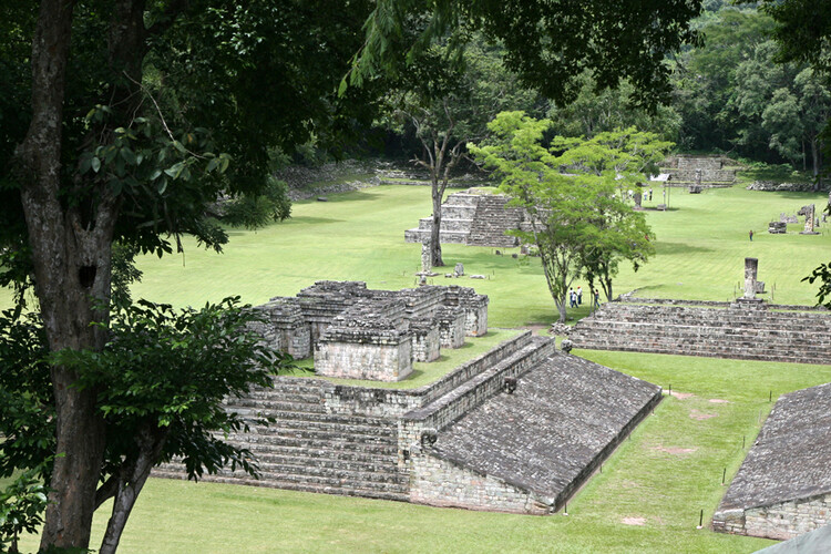
Deep in western Honduras, within a valley near the Guatemalan border, lies the ancient Maya city of Copán. Flourishing during the Classic period between the fifth and ninth centuries CE, the city developed as a regional epicenter through trade networks, dynastic politics, and monumental architecture. Today, the site is designated a UNESCO World Heritage Site due to its extensive architectural remains, including stepped pyramids, sculpted stelae, and ceremonial core. Over a century of systematic archaeological research has documented its urban morphology, revealing distinct residential districts, civic spaces, and systems of movement and visibility.
This analysis examines the spatial organization of Copán through the framework of urban theorist Kevin Lynch and "The Image of the City". By applying Lynch's five structural elements — edges, districts, paths, nodes, and landmarks — it is possible to analyze how Copán functioned not only as a ritual center but as a legible urban landscape designed to reinforce political hierarchy and regulate collective movement. Historical data for this analysis was taken from books and articles linked throughout the text, and was possible thanks to the collaboration of historian Arnulfo Ramirez de la Costa, professor and coordinator of the History program in the Department of History at the National Autonomous University of Honduras (UNAH) in Tegucigalpa.
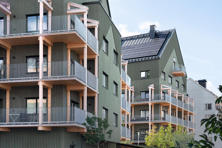
Recent years have seen a shifting paradigm in multi-family residential architecture, as more and more new projects are being built with engineered wood, specifically Cross-Laminated Timber (CLT) and glued-laminated timber (glulam). Because timber is lightweight, these systems can reduce dead load and ease foundation demands, which is especially useful on sites with limited bearing capacity or over existing infrastructure. From a sustainability standpoint, timber can store carbon over the life of the building and often reduces embodied carbon compared with conventional concrete-and-steel systems. In fire design, large timber members can be engineered to char at a predictable rate, allowing the structural core to remain protected for a defined period when detailed appropriately.
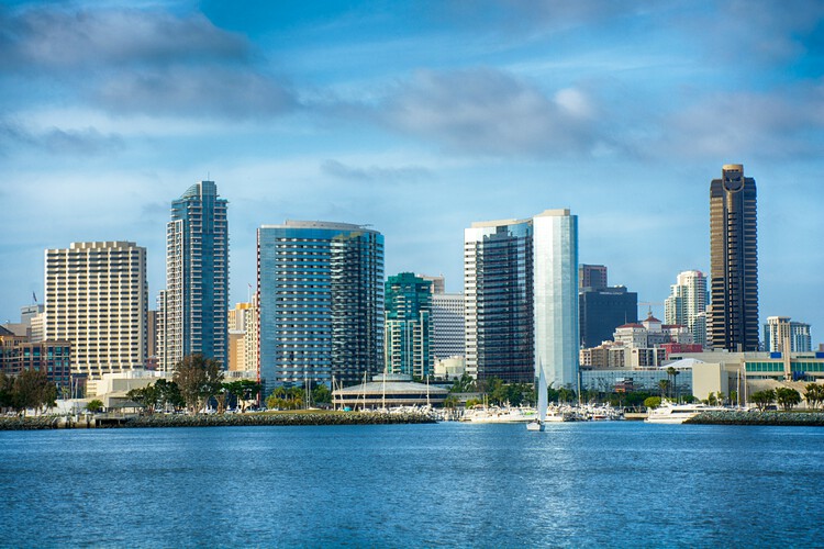
San Diego, California. Photo by Samuel Ramos on Unsplash
Very close to the Mexican border, in the southwest corner of the United States, lies the city of San Diego. Its urban history began in 1769 with the arrival of a Spanish military expedition commanded by Gaspar de Portola, which marked the first permanent settlement in the territory that was known as Alta California. However, unlike the more formally urbanized administrative capitals and towns of Mexico and Central America, San Diego was conceived as a frontier outpost. Today, it has become the second-largest city in California, just after Los Angeles, and its urban grid tells a story about the Hispanic heritage that is intertwined with the contemporary cultural environment of the United States.
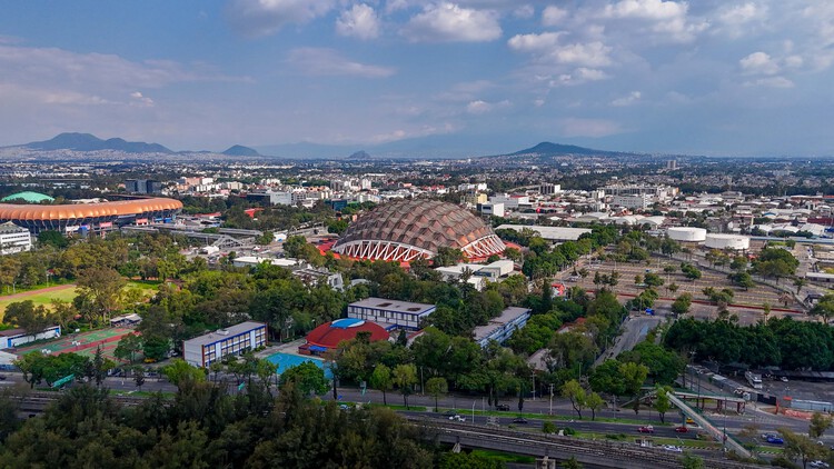
When Mexico City hosted the Olympics in 1968, it was the first time the Games had been awarded to a Latin American country as well as the first time for a Spanish-speaking nation to host them. This made the games a good opportunity to project Mexico and its culture internationally, thus prompting the government to constitute an organizing committee with prominent local talent. They appointed Pedro Ramírez Vázquez as its president, a Mexican architect who held significant influence over the state's mid-century building program. His approach was explicit: architecture as a synthesis of international modernist technique with Pre-Columbian references and local material culture. Under his direction, the committee would oversee the construction and adaptation of venues distributed across the southern districts of Mexico City, nearly all designed and built by local architects, engineers, and technicians.
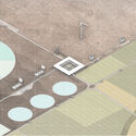
Remediation areas. Image Courtesy of Ezequiel Lopez, Maria Victoria Echegaray, and Agustina Durandez
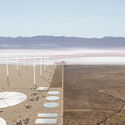
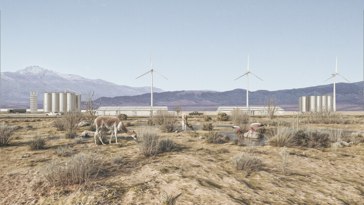
When people think of Argentina, they often picture landmarks like the Obelisk of Buenos Aires. Yet the country spans over 2,780,400 km², making it one of the largest in South America and home to a wide range of landscapes and realities that frequently go unnoticed. In fact, the province of Jujuy in northern Argentina lies within the Lithium Triangle: a high-altitude region shared with Bolivia and Chile that contains roughly 54% of the world's lithium reserves. Within this territory sits the Olaroz Salt Flat, a site where today two competing dynamics converge: the expansion of industrial lithium extraction and the preservation of ancestral culture and lands inhabited by Kolla and Atacama communities, creating a clash of high-capacity industrial extraction and traditional, low-impact agrarian practices.
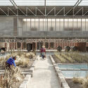
In light of this problem, one of the winning teams of the ArchDaily Student Project Awards, made up of Ezequiel Lopez, Maria Victoria Echegaray, and Agustina Durandez, decided to look into the issue. This was done as part of their thesis project for the Bachelor's in Architecture program at the National University of Córdoba. Their work stems from an interest in engaging with territories that remain peripheral to architectural discourse, using the thesis as an opportunity for sustained, in-depth research. This allowed them to formulate informed design responses grounded in both territorial and socio-economic realities. Rejecting the binary between extraction and preservation, the project approaches the territory as a system where both can coexist through spatial and technical mediation.
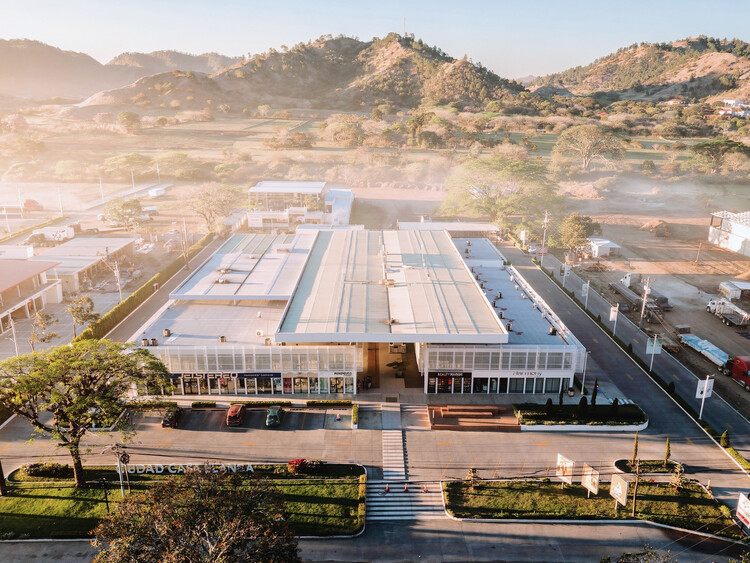
Honduras is the second-largest country in Central America, both in territory and population. Today, its urban fabric remains heavily influenced by modernist principles from the 1970s that prioritised high-speed arterial corridors and automobile-dependent "point-to-point" mobility. In addition, the country faced many challenges regarding public safety during the 2010s, which contributed to creating an urban space characterised by blind facades, high perimeter walls, and gated enclosures designed to isolate the interior from the public realm.
We had the opportunity to talk to Alejandra Ferrera, a Honduran architect raised in Danlí, a city in eastern Honduras. With over 15 years of practice across Brazil, the Netherlands, and Australia, she argues that while the security-driven design was a functional necessity of its time, it has resulted in a fragmented urban experience where the street serves only as a transit void rather than a place for social encounter. She suggests that even though this isolation was a justified safety measure, it created detachment between the inhabitants and the city. She also argues that overall, the public safety situation contributed to the creation of a wounded national identity that often looks outward for quality, dismissing the potential of its own context.
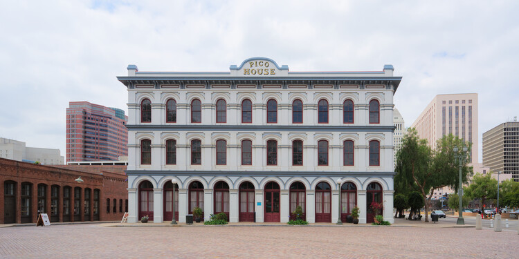
Pico House, part of Los Angeles Plaza Historic District. Image by Daniel L. Lu - Own work, CC BY-SA 4.0
Today, the urban form of Los Angeles is characterized by 20th-century sprawl and extensive automotive infrastructure. However, the physical reality of the city's original core reveals a more complex history that is deeply rooted in Hispanic heritage. In fact, Los Angeles did not originate from the standardized American land system that defines most of the United States' territory. Instead, it is a product of the Spanish urban tradition in the Americas, which followed a structure repeated across major cities on the continent. The intersection of these systems created a layered urban geometry and history that remains visible in the city's contemporary street patterns.
When Los Angeleswas founded in 1781 as a pueblo by Felipe de Neve, it was an outpost of the Viceroyalty of New Spain. Viceroyalties were political divisions of the Spanish territories in America, and by the late 18th century, New Spain was vast. It stretched from southern Costa Rica, all the way north to Alta California, bordering the east at the Mississippi River and the newly independent United States of America. At this time, Mexico City functioned as the primary administrative and economic hub, leaving frontier regions like Alta California to rely on a specific triad of settlements: missions (religious), presidios (military), and pueblos (civilian).
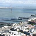
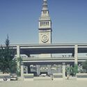
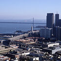
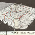
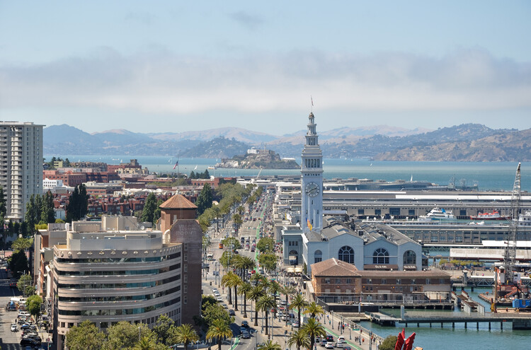
In recent decades, cities across the world have seen an increase in the demolition of elevated concrete freeways. Taipei, Seoul, Portland, and Boston, for example, have all seen the rise and fall of these infrastructures to give way to parks and new urban regeneration ideas. In other cases, like Montreal in Canada, some people opposed the freeways even before they were built, effectively rerouting viaducts, preserving heritage, and freeing waterfront views. For San Francisco, in the United States, the story of the Embarcadero Freeway is one of those narratives that serves as a case study of the city's mid-century infrastructural ambition, people's reaction to the project, and its eventual reversal in favor of urban connectivity.
In our current cities, urban density and rising land values often force a choice between large-scale civic buildings and open public space. Traditionally, plazas have been treated as areas surrounding a building's footprint, but this strategy was modified when pilotis were introduced by the early 20th-century modernist movement. While the original intent was to create a sense of lightness that would allow circulation and light to flow beneath a structure, contemporary requirements for seismic loads, fire egress, and heavy occupancies render thin columns insufficient for the needs of current large-scale civic projects.
However, the pursuit of architectural lightness is not a strictly contemporary phenomenon. Following the modernist introduction of pilotis, several mid-century projects began experimenting with the illusion of suspension to achieve civic transparency. In 1953, the National Congress of Honduras in Tegucigalpa, designed by Mario Valenzuela, applied these principles to a legislative setting. The building consists of a solid assembly chamber elevated on a series of slender columns. Because the site sits on a terrace at the end of a sloping street, the resulting void does more than just provide circulation; it frames views of the city, creating the impression that the heavy legislative mass is lightly suspended above the urban fabric.
In temperate and cold climates, architecture typically begins with a defensive gesture. The building envelope is a sealed boundary designed to resist the exterior environment through insulation, vapor barriers, and mechanical control. In cold countries like Canada, where winter temperatures can plunge well below freezing, airtightness is not a luxury. In this context, buildings must resist the exterior environment entirely to maintain interior comfort. However, in Central America, a region spanning from Belize to Panama, architectural logic shifts from exclusion to negotiation. In this region, the envelope is not a wall of defense but a specialized filter.
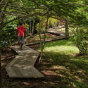
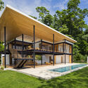
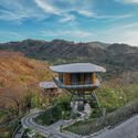
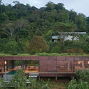
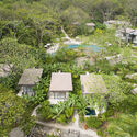
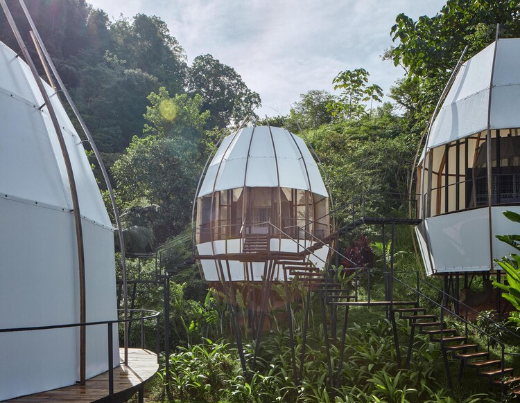
Costa Rica is a small country in Central America, internationally renowned for its tourism, biodiversity, and tropical climate. Given this context, tropical design strategies for hotel design are often more studied, but residential cabin projects can represent a more surgical approach to understanding the landscape. Often situated in remote forest or jungle locations, these cabins, apart from the common tropical design strategies, have to prioritize long-term durability and low-maintenance costs, particularly in regions where access for repairs is logistically difficult. This necessitates a design philosophy that favors both structural and climatic resilience.
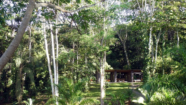
Building in this context requires precise design responses to two primary environmental stressors: extreme precipitation and high humidity. Costa Rica's tropical climate, while varying by altitude, generally delivers an average monthly rainfall exceeding 150 mm in many regions. This constant water load can create a "wet-bulb" effect, where stagnant, saturated air accelerates interior material degradation and creates physiological discomfort for the inhabitants. To design effectively under these conditions, contemporary cabin architecture employs a three-fold strategy of minimal site invasion, the creation of thermal gradients, and passive climate mitigation.
Rendering of the Gateway via Flickr under license CC BY-NC-ND 2.0. Image Courtesy of NASA
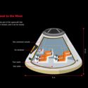
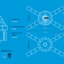
The concept of the technosphere provides a framework for understanding the scale of human impact on Earth. The term was coined by Peter K. Haff, and it is defined as the global network of human-made artifacts: a physical layer of infrastructure, buildings, vehicles, and machinery that functions alongside the biosphere and atmosphere. Currently estimated at 30 trillion tons, this human-constructed mass is dominated by the built environment. In this context, architecture serves as the primary interface, shaping how technology interacts with local ecologies. However, it seems that soon, the Technosphere will no longer be confined to the terrestrial surface. Through NASA's Artemis program, this network of human-made mass is expanding beyond Earth's atmosphere and is looking to establish new orbital infrastructure that represents the first permanent off-world extension of this man-made system.
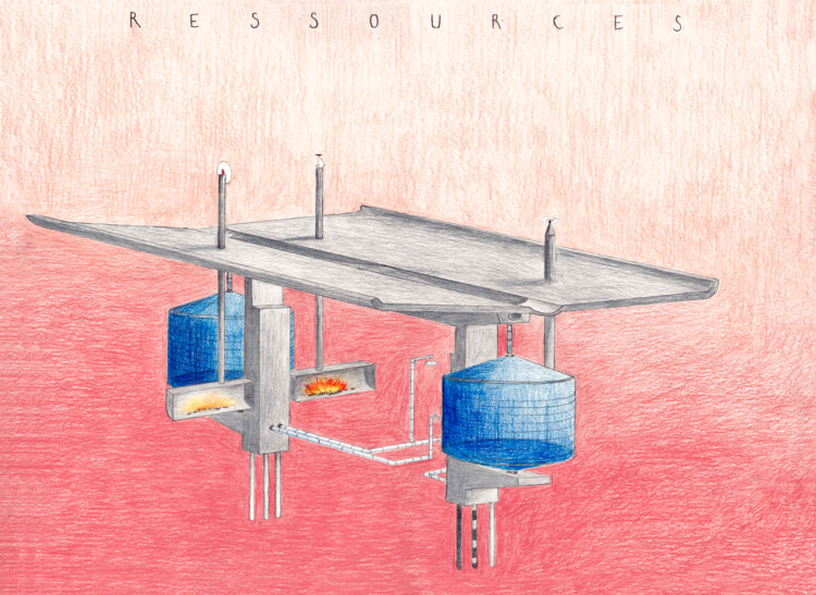
Diagram of the services in Barba Jupiter. Image Courtesy of Géométral
Founded in 2022 by Clément Masurier and based in Paris, France, Géométral is an architectural practice defined by design strategies that are linked to the landscape, which it treats as a primary determinant of form. The studio, one of the winners of the ArchDaily 2025 Next Practices Awards, approaches each project as a small universe that combines program, atmosphere, and spatial narratives. Rather than a single signature style, they focus on crafting moods and situations tailored to each context and user.
In its early stages, the studio lacked a built portfolio and responded by developing "fictional architectures" situated on real topographies. This exercise was not merely an aesthetic pursuit but a methodological anchor, as it allowed the firm to establish a rigorous process of site analysis and typological testing before receiving physical commissions. By treating imaginary projects with the same technical scrutiny as real ones, the studio developed a library of formal responses to environmental constraints that now dictate their built work.
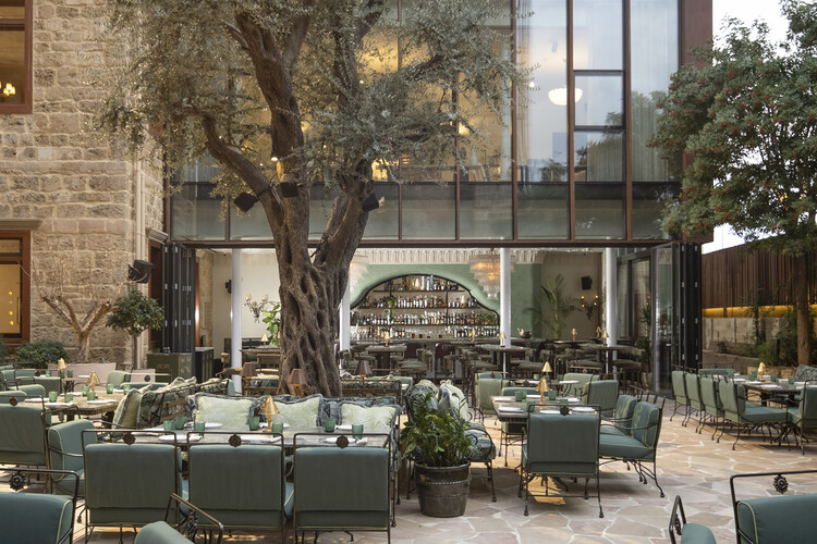
Hospitality-driven programs, specifically coffee shops and social hubs, are partly defined by their role as "third places": social anchors that bridge the gap between private and public life. Unlike residential or commercial office programs that require rigid partitioning for privacy and utility, they rely on expansive, open-plan environments. This allows for an architectural strategy of minimal intervention, allowing the structural envelope to remain intact. By avoiding the subdivision of space, architects maintain uninterrupted sightlines to original masonry, timber frames, or decorative ceilings, ensuring the building's historical narrative remains the protagonist. Simultaneously, the commercial activity provides the necessary maintenance and public engagement to ensure the site's continued existence.
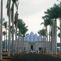
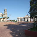
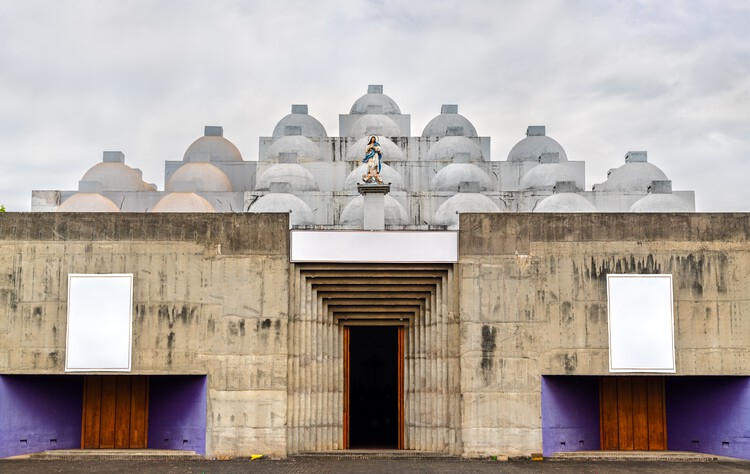
On December 23, 1972, Managua, the capital of Nicaragua, was struck by a 6.3-magnitude earthquake. In a matter of minutes, its urban core, which for decades had functioned as a compact political and economic center, abruptly collapsed. In the reconstruction process that followed, the authorities sought not simply to rebuild but to reorganize. Their objective was to decentralize the city and prevent future paralysis by dispersing functions across multiple zones. Among the most significant architectural outcomes of this shift was the new Metropolitan Cathedral. Its modernist language symbolized both institutional continuity and urban transformation. In doing so, it embodied Managua's transition from a Spanish-style, centralized urban grid to a contemporary, decentralized metropolis.
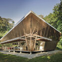
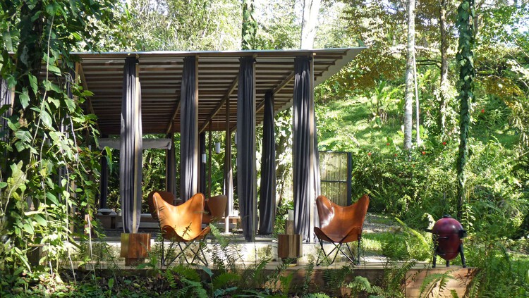
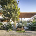
In the coastal and jungle regions of Costa Rica, high humidity and intense solar radiation dictate an architectural strategy centered on permeability rather than enclosure. Unlike the airtight envelopes required in cold climates to retain heat, Costa Rican architecture uses the building envelope as a climatic filter to maximize air exchange. The primary mechanism for managing these thermal gradients seems to be the oversized roof overhang. By extending the roof plane significantly beyond the floor plate, architects create a permanent buffer of deep shade that reduces solar gain and lowers the ambient temperature before air enters the structure. This strategy, combined with permeable or non-existent walls, allows for constant airflow. This is a critical technical requirement for humidity control and the prevention of material degradation through mold and rot.
Artist representation of Orion's lunar flyby. Image via NASA under license CC BY-NC-ND 2.0
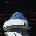
It was July 1969, and people on planet Earth were about to witness a historical moment for humanity: the first time a human being stepped on the surface of the Moon aboard the Apollo 11 mission. After this event, NASA landed five more times on the lunar surface, with the last one being Apollo 17 in 1972. Since then, humans have not attempted to return to the Moon until this year, 2026, when they will launch the Orion spacecraft as part of the Artemis II Mission. Planned to set off between February and April 2026, Orion will not yet land people on the Moon, instead it will make a flyby, in order to allow testing of the software and systems. This will set the base for an actual human landing on the Moon's South Pole as part of Artemis III sometime between 2027 and 2028, eventually opening a brand new era in Extraterrestrial architectural design.
WORKac is a New York-based firm founded in 2003 by Amale Andraos and Dan Wood. The firm has always believed in "the power of architecture and design to engage in environmental and social concerns, and to create new possibilities for the future." In that sense, the firm's principals define their approach to architecture as a constant evolution. For them, it is a continuous process of learning, questioning, and relearning, which is nurtured through the firm's engagement in local culture, climates, and histories, as well as discourse in the fields of ecology, landscape, and urbanism. In this way, they are able to bring these topics together with a focus on public, cultural, and civic projects that aim to reinvent how people live, work, and experience the world.